Contacts
Härjedalens kommun
Härjedalen Airport
SE-842 92 Sveg, Sweden
PH: +46 (0)680 - 71 42 50
Email: info@harjedalenairport.se
AFS: ESNDZTZX
Website: www.harjedalenairport.se
62 02 52N 014 25.27E
Härjedalens kommun
Härjedalen Airport
SE-842 92 Sveg, Sweden
PH: +46 (0)680 - 71 42 50
Email: info@harjedalenairport.se
AFS: ESNDZTZX
Website: www.harjedalenairport.se
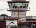
"Härjedalen Sveg Airport (EVG) is located in the municipality of Sveg only 2,4 NM/5 kilometres northeast from the city centre of Sveg"
Vemdalen (72 km)
www.vemdalen.se
Funäsdalsfjällen (140 km)
www.funasfjallen.se
Lofsdalen (70 km)
www.lofsdalen.com
Sveg
1. sveg.se
2. Visit Sveg - www.visitsveg.com
ESND/EVG
620252N 0142527E RWY 687 m from THR 27
4° E 2015/+0.2 increasing
1178 ft/359 m
Sveg TWR/AFIS
Phone:
+46(0)680 - 71 13 51
Fax
+46(0)680 - 131 30
Email address:
airport@herjedalen.se
CO ATS
NO INFO
Postal address:
Härjedalens kommun
Härjedalen Sveg Airport
SE-842 80 Sveg, Sweden
AFS: ESNDZTZX
AFIS
SVEG INFO Primary (HO):
122.205 MHz
SVEG INFO Emergency (HO):
121.500 MHz
AFIS
SVEG INFO Primary (HO):
122.205 MHz
SWEDEN CTL:
132.150 MHz
DME SVEG SVE
113.95 MHz
ILS/DME RWY 09
NIL
LLZ RWY 09 IND
109.10 MHz
ILS/DME RWY 27
NIL
NDB (DME required):
RWY 09
368 (KHz) OY
RWY 38
NIL
VOR:
NIL
See AIP for more information
5000 ft AMSL
VFR Entry/Exit point
NIL
Reporting point
- NIL
VFR flight within CTR/TIZ/RMZ
NIL
Normal entry and exit points:
NIL
Holdings:
See below
Communication failure:
See "Communication failure" below
Holding
NORTH: Hold over Sveaborg, north of point
620554N 0141843E
SOUTH: Hold over south part of lake Vallsjön,
south of point 620029N 0142746E
Vertical limits SVEG TIZ/RMZ
GND/3500 ft AMSL (G)
Vertical limits SVEG TIA/RMZ
3500 ft GND /6000 ft AMSL (G)
TV-MAST 8 NM SSW airport 3374 ft MSL
RUNWAYS, LANDING AIDS, AD reference code
RWY 09
Dimension: Length 1701 m Width 30 m
SURFACE: Asphalt PCN 29 F/B/X/T
THR ELEV: 1172,7 ft
THR COORD: 620250.41N
0142417.28E
DECLARED DISTANCES
TORA: 1701 m
TODA: 1701 m
ASDA: 1701 m
LDA: 1701 m
VFR traffic shall touch-down
150 m inwards from THR.
LANDING AIDS:
APPROACH AND RUNWAY LIGHTNING
APCH LGT:Barrette CL CAT 1, 630 m, LIL/LIH
VASIS: PAPI
LED lights: APCH, RTHL, REDL and RENL
PCL LIL RWY on channel 122.205 for 8 SEC.
RWY 27
Dimension: Length 1701 m Width 30 m
SURFACE: Asphalt PCN 29 F/B/X/T
THR ELEV: 1177 ft
THR COORD: 620253.24N
0142614.19E
DECLARED DISTANCES
TORA: 1701 m
TODA: 1701 m
ASDA: 1701 m
LDA: 1701 m
THR 28 displaced 241 m
LANDING AIDS:
APPROACH AND RUNWAY LIGHTNING
APCH LGT: NIL
VASIS: PAPI
LED lights: RTHL, REDL and RENL
PCL LIL RWY on channel 122.205 for 8 SEC.
HELICOPTER LANDING AREA
RWY 09/27 to be used
APRON SURFACE AND STRENGTH
Apron E ASPH PCN 33 F/B/X/T
Apron W ASPH PCN 23 F/B/X/T
Apron GA ASPH PCN -
TWY WIDTH, SURFACE AND STRENGTH
TWY A 15 m ASPH PCN 20 F/B/X/T
Sveg AD may be used only:
MON–FRI: H24
SAT: H24
SUN: H24
Holiday occuring MON–FRI:
H24
ATS
MON-SUN:
AFIS for SKED TFC,
other O/R from AD
operator -
+46 (0)680 - 71 13 51
ATS ARO
H24
AD operator
MON-FRI Ref AIP SUP/NOTAM
SAT: Ref AIP SUP/NOTAM
SUN: Ref AIP SUP/NOTAM
HOL: Ref AIP SUP/NOTAM
AD Operating hours
MON-FRI: H24
SAT: H24
SUN: H24
Fuel
MON-FRI Ref AIP SUP/NOTAM
SAT Ref AIP SUP/NOTAM
SUN Ref AIP SUP/NOTAM
Handing
Ref AIP SUP/NOTAM
De-Icing
Ref AIP SUP/NOTAM
Custom
O/R
Cargo-handling facilities
-
Hangar space for visiting ACFT
Limited
Repair facilities for visiting ACFT
Limited
IFR/VFR. Max RWY ref code 3C
PPR for IFR traffic and ACFT that requires RWY ref code 3C
IFR traffic requires ATS availability.
VFR traffic without ATS upon PIC discretion.
+46 (0)680 - 71 13 50
NOTE (S)
PPR:
PPR for ACFT that requires RWY ref code 3C.
LOCAL AERODROME REGULATIONS
1. For VFR landing outside ATS hours the intention to land and
ETA should be clearly declared on channel 122.205 followed
by a RWY crossing (500 ft + traffic pattern altitude) in order
to verify RWY availability and alerting any persons and other
traffic on RWY. If the runway and runway strip are not available
in their full length and width, the landing should not be carried
out.
2. For take-off outside ATS hours the intention to take-off
and ETD shall be clearly declared on channel 122.205. If the
runway and runway strip are not available in their full length
and width, the start should not be carried out.
Low visibility procedures (LVP) established
NIL
FLIGHT PROCEDURES
1. Omnidirectional departure procedures
(See AIP AD 2 ESND 1-7 - ESND 2.22)
CTR and TIZ/RMZ
Continuous two-way radiocommunication required in CTR and TIZ/RMZ.
CTR established during hours of TWR.
TIZ/RMZ established during hours of AFIS.
ADDITIONAL INFORMATION
1. Commercial air transport (CAT) operators at Sveg
aerodrome with ICAO code letter C aircraft
shall classify the aerodrome as category B, ref EASA AMC1 ORO.FC.105 (b)
(2);(c).
This is due to the non-standard dimensions of the strip
and that TWY A holding point is positioned 75 m from RWY CL.
2. CAUTION:
A row of lights south of RWY
may be mistaken for approach
light system to RWY 09.
3. Approach lighting system RWY 09
Airport perimeter fence penetrates light plane 150 m from THR
4. Runway edge lights RWY 09/27
raised 65 cm above ground.
Last pair lowered for turnaround.
5. Granted exemptions from requirements in CS ADR-DSN:
• Precision approach runways – Fixed obstacles penetrate
conical surface in NE and SW.
NIL
Handling agent(s):
Airport Administration
PH:
+46(0)680-71 13 50
Fax:
+46(0)680 - 131 30
Email:
airport@herjedalen.se
FQ:
122.205 MHz
Fuel supplier
See above
Handling
See above
Aircraft cleaning (cabin)
No info
Toilet Service
No info
Water Service
No info
Corporate contact:
-
Hangar space for visiting ACFT
Limited
Repair facilities for visiting ACFT
Limited
Jet A1
Fuel suppliers:
PH: +46 (0)680 - 71 13 50
Fax: +46(0)680 - 131 30
Email: airport@herjedalen.se
For refueling outside the airport opening hours:
NO INFO
100 LL:
Fuel suppliers:
PH: +46 (0)680 - 71 13 50
Fax: +46(0)680 - 131 30
Email: airport@herjedalen.se
Cards Accepted:
For payment of fuel major credit cards accepted and cash
NOTE:
1
Available, Type I and II, mobile unit
1. AD category for fire fighting:
Cat 3 for SKED TFC, up to CAT 5 O/R 24 HR PN
+46 (0)680 - 71 13 50
2. Rescue equipment:
By arrangement, municipal rescue service
3. Capability for removal of disabled aircraft:
By arrangement, contact aerodrome coordinator
+46 (0)680 - 71 13 50
1.
Overflying of the built up areas of Sveg should be avoided.
2.
After take-off RWY 27 left hand turn must not be initiated
until an altitude of 2500 ft AMSL has been reached.
Communication failure
NIL
According to AIP
Security charges are set and invoiced by governmental Transportstyrelsen (Swedish Transport Agency) directly to airline operator. See www.transportstyrelsen.se (TSFS 2012:113)
Increased charges outside AD Operating hours.
Frequent extension of
operational hours.
Swedavia Annual card for Non-commercial aircraft MTOW 5,700 kg:
Apply for an annual card here >>
Sveg Airport ESND is not affiliated with the joint system of annual cards.
Increased charges outside TWR/AFIS HR of OPS
No information
NIL
Carnets Jet A1:
Via HANDLING (See above)
Carnets 100LL
NIL
Airport Director
Mathias Wiberg
Email: mathias.wiberg@harjedalenairport.se
PH: +46 (0)680-714266
Mobile:
Airlines
Jonair
Contact the airport information desk
Flying Club
Svegs Flygklubb
Email: svegsfk@gmail.com
Website: Click here >>
(NOTE: A new page opens outside our network)
See HANDLING above
The AIP links below are obtained externally from LFV AB (publisher of AIP).
AIP updates are based on the AIRAC effective date schedule.
But if the link does not work or is not updated, please log in to
aro.lfv.se: for current information:
ES-AD ESND 1-1 Download it from here >>
ES-AD ESND 2-1 Aerodrome Chart - ICAO Download it from here >>
ES-AD ESND 8-1 IAC - ICAO ILS z or LOC z RWY 09 Download it from here >>
ES-AD ESND 8-2 IAC - ICAO ILS y or LOC y RWY 09 Download it from here >>
ES-AD ESND 8-3 IAC - ICAO NDB RWY 09 Download it from here >>
ES-AD ESND 8-5 IAC - ICAO RNP RWY 09 Download it from here >>
ES-AD ESND 8-9 IAC - ICAO RNP RWY 27 Download it from here >>
ES-AD ESND 9-1 VAC Download it from here >>
AIP ENR 1.1-7,14 Flight within the mountainous area of Sweden with glider or single engine aircraft- Download it from here >>
Airport Bus
Länstrafiken
Travel from the airport is made by prior arrangement
PH: +46 (0)771-820 083
Order must be made no later than 17.00 LMT weekday before travel day.
Länstrafiken's website, Click here >>
Traffic to/from
Sveg airport and ->
a) "Funäsdalen" and "Funäsdalen busstation"
b) "Vemdalsskalet" via Vemdalen (by/village)
c) "Lofsdalen"
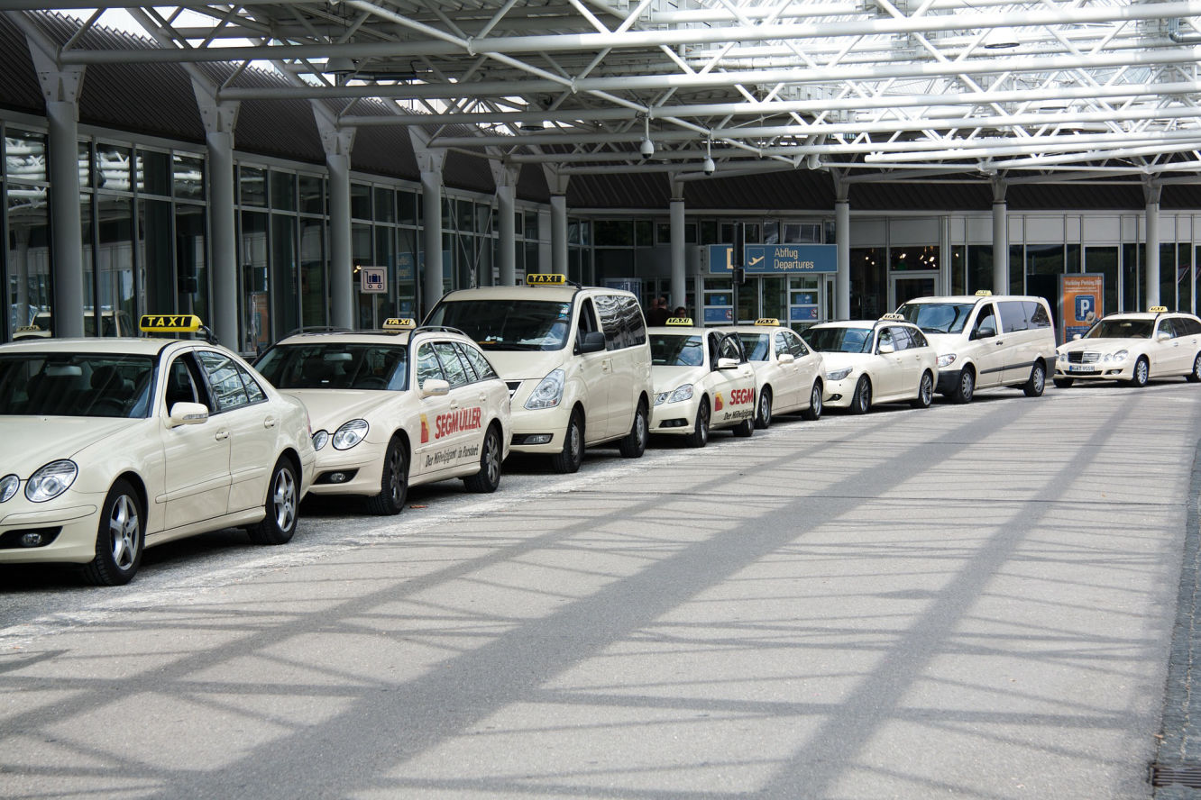
Taxis are available right outside the terminals.
SVEGS TAXI
PH: +46 (0)680 - 106 00
Mohlins taxi
PH: +46 (0)680 - 105 00
Transfer to Vemdalen, Lofsdalen and Funäsdalen ski resorts
Flygtaxi/Air taxi
Domestic Sweden.
+46(0)20 - 97 97 97
International:
+46 (0)8 - 120 92 000
(For further info and booking - Click on link):
Information on airport homepage >>

SFSA Flight Support partners CarTrawler
At Sveg Airport, you can rent cars at Sixt and Europcar.
It is always a good idea to pre-book your rental car to be sure to get the car you want.
Pick-up of the rental car takes place in connection with arrival at the sign-posted service desk
Globally, CarTrawler offers attractive rates for car hire in over 30,000 locations in more than 145 countries, and with over 1,200 international suppliers.
SFSA Flight Support Car Rental &Transfer services together with CarTrawler search over 1,600 car rental suppliers to find you the lowest price!
We have integrated the service digitally so that you can make your bookings through this website and our mobile airport website from anywhere.
INSTRUCTION (Choose option)
1. Aim your phone camera at the QR code to the left
2. Click on the button up to the right - with the text
"Click here for booking".
Härjedalens kommun
Härjedalen Sveg Airport
SE-842 80 Sveg, Sweden
Terminal (LMT)
Mon-Wed 05.30 – 17.15 Lunch 12.00 – 13.00
Thursday 05.30 – 17.15
Friday 05.30 - 10.30, 15.00 – 17.15
Saturday Closed
Sunday 11.00 – 16.45
Air traffic
Monday-Friday H24
Saturday H24
Sunday H24
Ref AIP SUP/NOTAM
SFSA Flight Support/Svenskaflygplatser.com does not guarantee the accuracy or timeliness of any information on this site.
Use at your own risk.
NOT to be used as an official source for flight planning, navigation, or use in flight.
NOTE!
Notices, restrictions,and advisories may change at any time and without notice.
Do not attempt any operation whether in the National or in the International Airspace System without first obtaining and understanding a thorough pre-flight briefing.